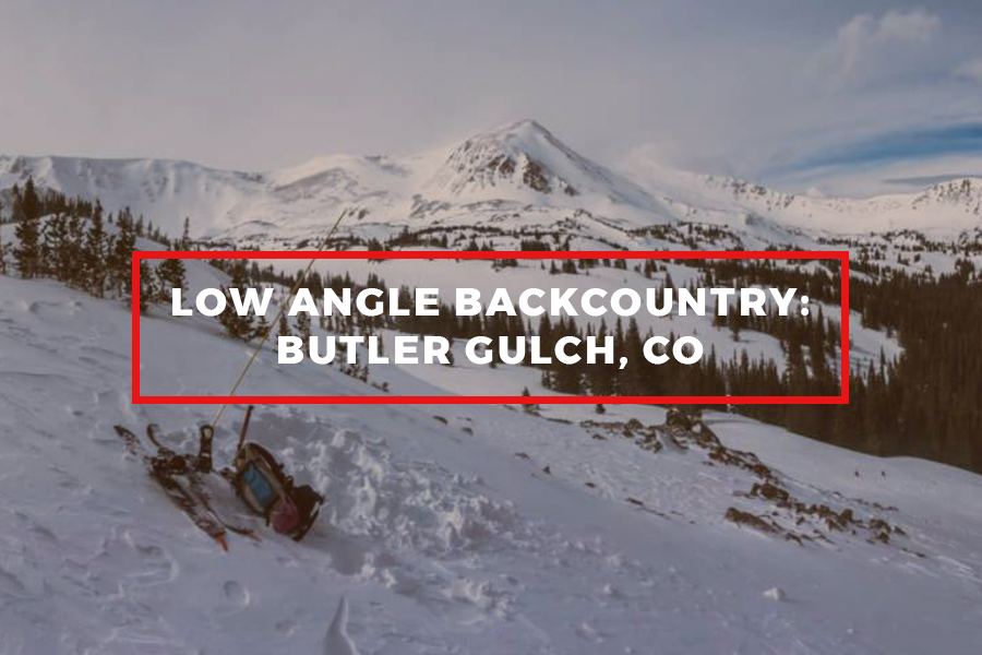
Butler Gulch is a great low angle option to get into some fresh storm snow or to avoid Colorado's mid-winter slab problem. You can also ride a majority of the way back to your car.
Aspect: NNE - NNW
Max Elevation: 11,702’
Descent: 500-600’
Max Slope Angle: 30 Degrees

Butler Gulch has tons of low angle terrain with a very mellow approach. There are lots of options for your descent and it is relatively easy to keep your turns under 30 degrees in Colorado’s midwinter snowpack.
Tour

Take the main trail out of the Jones Pass lot. Soon after you leave the trailhead, you will reach an obvious fork in the road. There is a signpost here pointing left to Butler Gulch and right to Jones Pass. Take the left track and continue for a mile along a well-established trail which gradually climbs up into the gulch. The trail will steepen into switchbacks as the trees become more dispersed. From here you'll have to choose between the East and West Bowl of the Gulch. Head up climber's left for the East Bowl to get some short and sweet laps. Traverse climber's right and deeper into the gulch for the West bowl. This area is a slightly lower angle and the descent is a bit longer but does tend to be more wind affected. The descent is easy to navigate as the natural shape of the valley will filter you right back on to the skin track.
Avalanche Risks / Good To Know

- There are multiple convex rollovers towards the end of the skin. At their steepest, they can exceed 30 degrees (this means they could potentially slide and it's best to approach them with caution)
- There is some serious avalanche terrain on the cliffs above the Butler Gulch area, so plan accordingly with regards to the run-out from these slopes if there is any reason for concern in the CAIC report. Travel one at a time across exposed zones beneath the avalanche paths.
- This area tends to be wind affected above the trees, so this may not be the best choice in windy conditions.
- A creek runs down the center of the valley on the approach, while it is generally not bordered by any steep terrain, be careful not to end up in it.
- There are a lot of snowshoers and day-trippers along this path, so watch your speed around the corners on the pump-track back to the car.

